Construction Services
Construction Progress Monitoring
Our drone-based construction progress reporting service offers a cutting-edge solution to monitor and document construction projects with unmatched precision and efficiency. Using state-of-the-art drone technology, we capture high-resolution aerial imagery and videos at regular intervals, providing real-time insights into project development. From the initial groundbreaking to the final touches, our drones track every phase of construction, enabling stakeholders to make informed decisions, streamline workflows, and ensure projects stay on schedule and within budget.
Site Mapping
Drones can use the visual data they collect to produce multiple types of maps including 3D, orthomosaic, and thermal. Each of these aerial maps have many benefits from pre-planning, monitoring progress, understanding a site’s layout, and more. The level of data and precision drone maps can provide are remarkable compared with widely used satellite imagery.
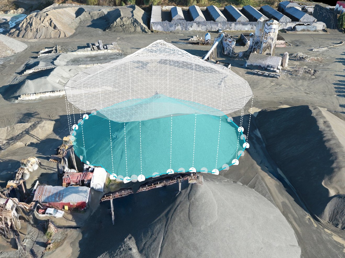
Stockpile Measurements
Using drones for stockpile measurements can significantly save time, improve safety, and cut costs. Measurements such as volume, density, and tonnage can be precisely calculated using drone mapping software. This information can be used for up-to-date inventory counts and to keep worksites stocked with enough materials. Assessing stockpiles more frequently can reduce overestimated material and supply orders, cutting back on waste and unnecessary spending.


